


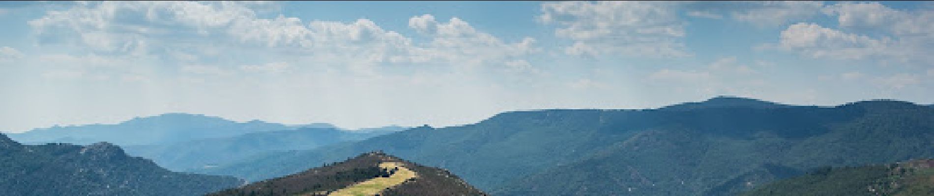
Boucle du calcaire et du schiste au Pompidou

ARVIEU
User
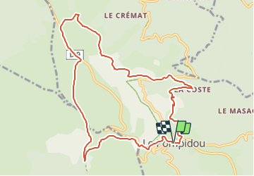

Length
11.2 km

Max alt
1041 m

Uphill gradient
438 m
Km-Effort
17 km

Min alt
628 m

Downhill gradient
441 m
Boucle
Yes
Creation date :
2023-08-04 15:06:45.734
Updated on :
2023-08-04 15:08:21.198
3h52
Difficulty : Medium

FREE GPS app for hiking
 SityTrail
IGN / Geographical institutes
SityTrail Plus
The world is yours!
About
Trail Walking of 11.2 km to be discovered at Occitania, Lozère, Le Pompidou. This trail is proposed by ARVIEU.
Photos


Positioning
Country:
France
Region :
Occitania
Department/Province :
Lozère
Municipality :
Le Pompidou
Location:
Unknown
Start:(Dec)
Start:(UTM)
552251 ; 4893757 (31T) N.
Comments